Skip to main content
Navigation principale
What is TELLUS?
Demo projects
NEWS
Contact
Login
Search
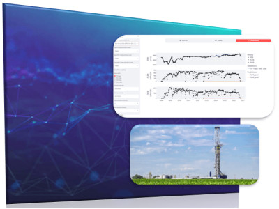
Dataviz
Read more
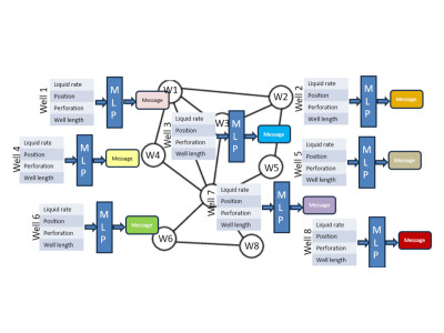
GRAPH NEURAL NETWORKS applied to reservoir engineering
Evaluate if the pressure and the production of wells in an oil field can be estimated with graph neural networks
Read more
When AI Meets Reservoir Engineering: Time Series Forecasting for Reservoir Engineering
Can the pressure answer of a field be estimated with neural networks in situations of fast decision-making or when a reservoir model is not available?
Read more
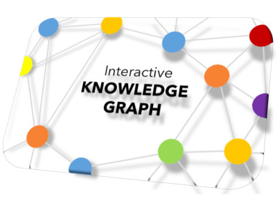
Interactive knowledge graph walk for document collections
Utilizing a graph view serves as the intuitive method to display categorizations, interconnections between related documents, and meta-information pertaining to the documents.
Read more
Interactive web visualization of massive 3D geodata
Web technologies for visualization of geodata & massive 3D Models
Read more
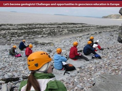
Digital transformation and geoscience education: new publication in European Geologist Journal
A joint publication between the TELLUS team at IFPEN and IFP School addresses the benefits of emergent digital technologies
Read more
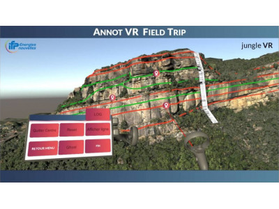
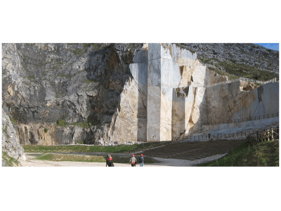
Immersive virtual field trips
Field trips are increasingly limited by budget, safety, footprint or inclusion issues
Read more
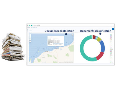
Assisted screening of document packs
Companies often accumulate very large amounts of documents stored in multiple folders
Read more
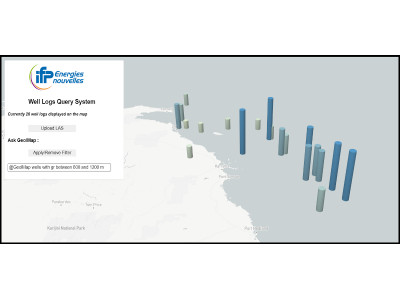
Assisted screening of well data
It is often burdensome to handle large amounts of wells files
Read more
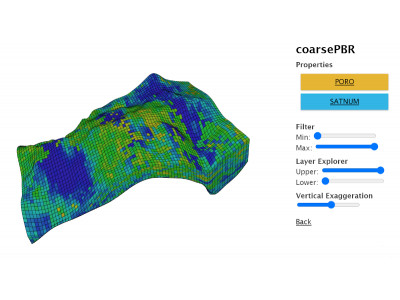
Web viewer for geomodels
New geomodelling usages require solutions to share and view models independently from proprietary software
Read more
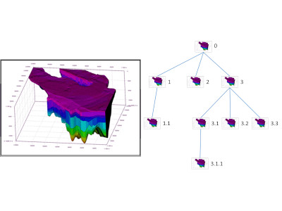
Assisted version management for geomodels
Geomodelling is a long and progressive task. Numerous versions of the model are produced, first in the building phase, then in the calibration one
Read more
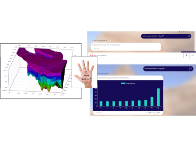
Geomodel exploration with natural language
Exploiting geomodelling results is a difficult task due to the amount of generated data. Complex post-processing computations are often required
Read more
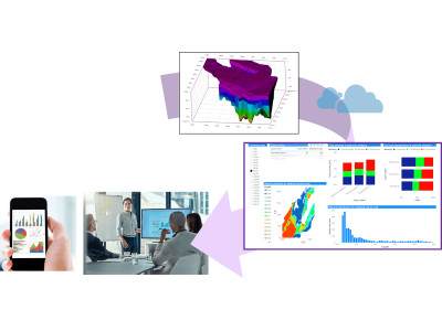
Geomodel exploration with interactive dashboards
Analyzing geomodels and physical simulation results can be tedious and often involve complex post-processing
Read more
IFPEN and UNESCO share digital transformation ambitions towards sustainable resource management and energy transition
IFP Energies Nouvelles (IFPEN) and UNESCO have signed a framework partnership agreement
Read more
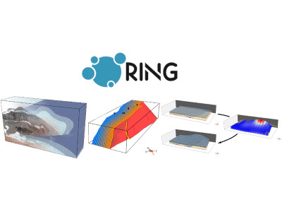
TELLUS projects presented at the 2020 RING meeting
Research for Integrative Numerical Geology (RING) is an international research consortium dedicated to geomodelling and quantiative geosciences
Saving...
© 2025 IFPEN
-
Legal notices