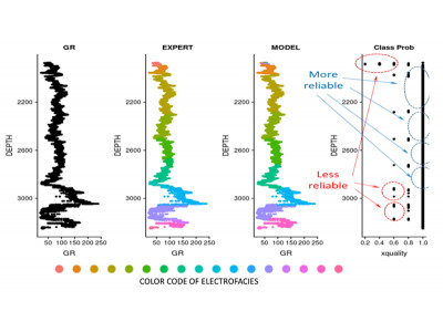
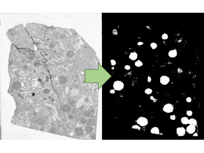
Clustering well-log data into electrofacies using machine learning with a purely unsupervised approach, cluster-number optimization, and outlier removal based on spatial autocorrelation.
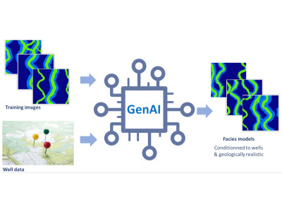
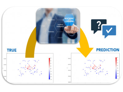
An essential step of risk assessment methodologies in subsurface activities is to simulate multiple possible realizations for the spatial distribution of the lithological facies.
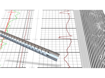
A web-based solution, which transforms cement bond logs images into sets of values and interprets them in terms of cement quality in a semi-automatic fashion.
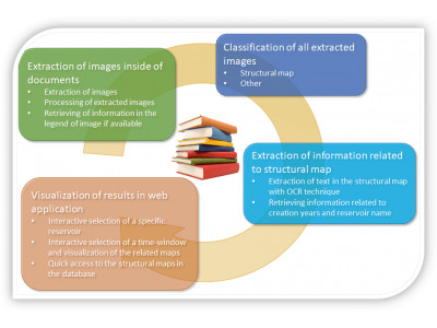
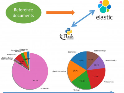
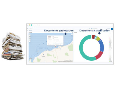
Automatic extraction of images of interest in document database can improve the efficiency of operational workflows and help professionals save time for higher-value activities
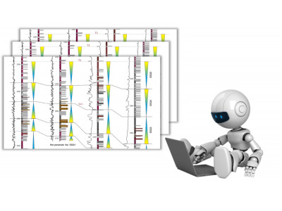
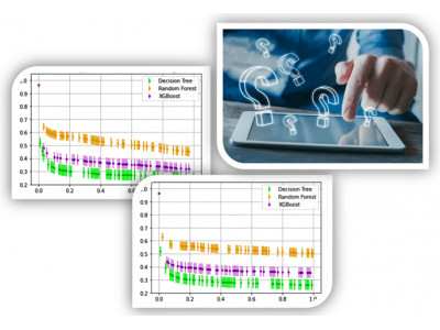
Quantifying the uncertainties associated to well-log data can benefit any decision making based on machine learning workflows where these data are used
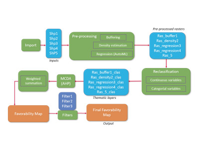
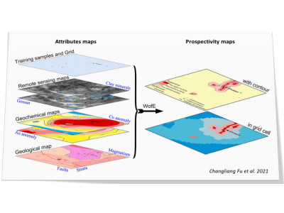
Predictive mapping is essential to evaluate underground prospectivity in various fields, such as Oil and Gas industry, Mineral prospection or Geothermal Energy
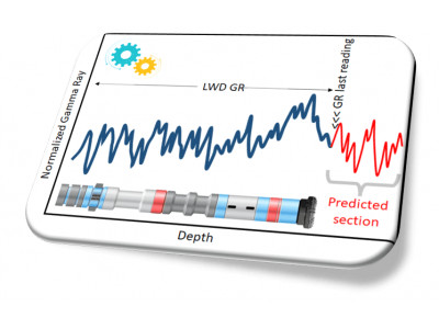
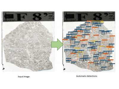
Predicting rock properties while drilling a well, especially if at several tens of meters ahead of the drill bit, can be key to reduce the drilling risks and their associated costs