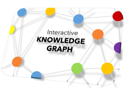
Utilizing a graph view serves as the intuitive method to display categorizations, interconnections between related documents, and meta-information pertaining to the documents.
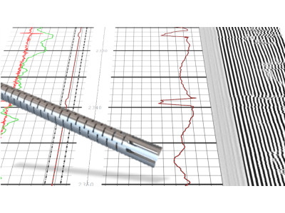
A web-based solution, which transforms cement bond logs images into sets of values and interprets them in terms of cement quality in a semi-automatic fashion.
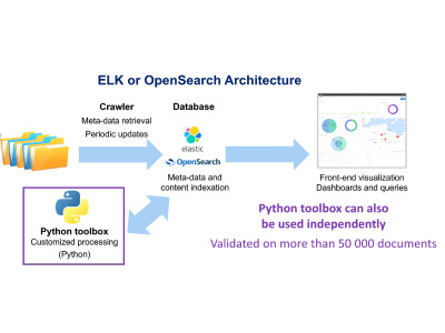
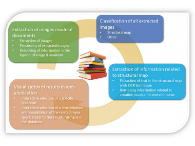
Automatic extraction of images of interest in document database can improve the efficiency of operational workflows and help professionals save time for higher-value activities